Applied Science for Ranch Management
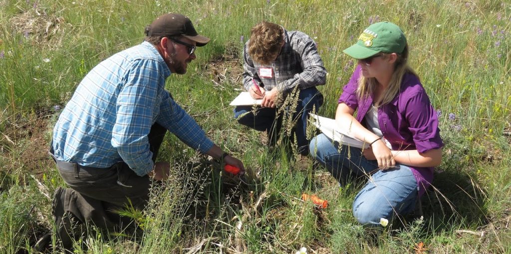
Western ranches face increasing challenges including invasive species, wildfire, insect outbreaks, and recurring drought. The Western Ranch Management and Ecosystem Stewardship Program connects students with ranchers to address these issues through applied research that supports informed, science-based management.
Research priorities are identified by ranch partners and focus on improving practices and guiding real-world decisions. Projects may assess grazing impacts on soil health, monitor wildlife with camera traps, or track post-fire vegetation recovery using satellite data. While the work is site-specific, results often benefit the broader ranching community.
Each project is overseen by Natural Resource Ecology Laboratory scientists, with students leading or assisting in research design, data collection, analysis, and reporting. These experiences build professional skills and meaningful relationships—while providing ranchers with insights that enhance both ecological and economic sustainability.
Current Research
We’re actively updating this page to reflect our ongoing research. Please check back soon for detailed project information. Click or tap a title to learn more about each project area.
Advanced Technologies
Virtual Fencing
Virtual fencing is an emerging technology that lets ranchers manage livestock without physical fences. Using GPS, a base station or cell network, and specialized software, ranchers can set virtual boundaries from a computer or tablet. Cattle wear collars that emit a sound, vibration, or mild electric cue when they near the boundary. This technology improves efficiency, cuts fencing costs, and reduces wildlife injuries from barbed wire. It also allows precise control of grazing patterns—helping protect riparian areas, safeguard ground-nesting birds, and create fuel breaks for wildfire prevention. Our current research with virtual fencing includes:
- Collaborating with early adopters to assess the opportunities and challenges of implementing virtual fencing.
- Partnering with Camblin Livestock in Colorado to co-develop strategies that enhance grazing management across large rangelands and integrate satellite remote sensing to guide virtual fence design.
- Testing virtual fencing approaches to reduce livestock–predator conflicts with Krebs Livestock in Oregon.
- Working with Pueblo of Jemez and The Nature Conservancy in New Mexico to improve grazing management and apply virtual fencing as a tool for rangeland restoration.
Satellite Remote Sensing
Satellite remote sensing provides ranchers and land managers with powerful tools to monitor and assess rangeland conditions over large areas. By capturing data on vegetation growth, soil moisture, and land cover changes, satellites enable near real-time evaluation of forage availability, drought impacts, and grazing pressure. These insights help ranchers make informed decisions about herd movement, pasture rotation, and resource management. When combined with technologies like virtual fencing, remote sensing supports more adaptive, efficient, and sustainable ranching practices. We are working on a number of projects that explore how these technologies can support ranching.
Drones
Drones are emerging as powerful tools for wildlife and range management, allowing ranchers and land managers to efficiently monitor large landscapes with minimal disturbance. Using high-resolution cameras and thermal sensors, drones can track populations and movements of key wildlife species such as elk, deer, and pronghorn. They enable cost-effective counts, help
identify herd composition, and better understand seasonal habitat preferences. This information supports science-based decisions for habitat management, grazing rotation, and conservation planning. By integrating drone data with on-the-ground observations, ranchers can better balance wildlife needs with sustainable range and livestock management.
- In collaboration with the CSU Drone Center, we are working with Trinchera Ranch in Colorado and Vermejo Park Ranch in New Mexico in developing new methods to monitor elk, mule deer and pronghorn populations and demographic trends.
- We are testing the application of drones for mapping range conditions following intensive grazing strategies on Camblin Ranch and Colorado Parks and Wildlife grazing allotments.
- We are using drones to map invasive species, such as cheatgrass and bulbous bluegrass, in a pilot study supported by Colorado Department of Agriculture
Range and Pastures
Restoration and Resilience
Restoration and resilience of rangelands are central to the future of western ranching. Healthy, resilient rangelands can recover from drought, fire, and grazing pressures while continuing to provide forage, wildlife habitat, and ecosystem services. Restoration efforts, such as reestablishing native vegetation, improving soil health, and managing invasive species, strengthen these natural systems and enhance their ability to withstand environmental stress. By investing in restoration and adaptive management, ranchers not only sustain the productivity of their operations but also ensure that the landscapes they depend on remain vibrant and functional for next generations.
- At Pueblo of Jemez in New Mexico, we are working with their Natural Resource Department to test seeding and pasture resting to mitigate the effects of drought.
Livestock Management
In collaboration with Aldersprings Ranch in Idaho, we are studying the impacts of cattle in-herding on vegetation and soils.
Wildlife
Population Monitoring
Monitoring elk and mule deer populations using drones and other emerging tools.
Habitat Quality
Assessing habitat quality through vegetation sampling, satellite remote sensing, and forage nutrient analysis to inform management for elk and bighorn sheep.
Forests
Forest Management and Planning
Conducting forest inventories and assessments to support conservation planning.
Fire History and Recovery
- Reconstructing historical fire events in the Sangre de Cristo Mountains to better understand long-term fire regimes
- Monitoring post-fire forest and vegetation recovery, including assessments of restoration efforts and fuel-reduction treatments
Treatment Effectiveness
Measuring the effectiveness of forest thinning treatments.
Riparian Systems
Stream Assessments
Assessing stream health, macroinvertebrate communities, and whirling disease prevalence.
Vegetation
Evaluating vegetation dynamics, including cottonwood regeneration and mapping invasive species such as tamarisk and Russian olive.
Carbon
Inventories
More details coming soon!
Carbon Markets
More details coming soon!